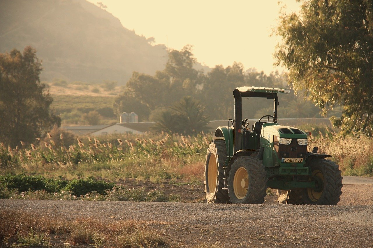
Farm equipment used in rural areas is notoriously difficult to equip with modern sensors, as standard electronic components often fail due to dust, moisture, and extreme temperature changes. Quectel’s smart agriculture brand, Verditex, has announced a new solution that brings centimetre-level Internet of Things (IoT) positioning to agricultural machinery management, addressing the challenge of running edge computing hardware in harsh field conditions.
According to the company, standard consumer-grade trackers are unsuitable for use on tractors pulling high-speed planters or other heavy equipment. The combination of environmental contaminants and wide temperature swings can quickly degrade normal circuit boards, rendering them unreliable for continuous operations.
Verditex’s system is built to withstand these conditions while providing high-precision location data. The technology uses Global Navigation Satellite System (GNSS) correction services to achieve accuracy down to the centimetre range, a level of precision required for tasks such as automated steering and variable-rate seeding.
The approach integrates edge computing directly onto the agricultural hardware. This means data processing occurs locally on the machinery rather than being sent to a remote server, reducing latency and enabling real-time adjustments. Quectel stated that this design is critical for maintaining operational efficiency in large-scale farming where communication networks may be inconsistent.
How the system works
The core of the Verditex offering is a ruggedised receiver module that decodes correction data from multiple satellite constellations, including GPS, GLONASS, Galileo, and BeiDou. This module is paired with an onboard processor capable of running algorithms for path planning and collision avoidance without relying on a constant cloud connection.
Quectel’s engineers designed the hardware to be sealed against ingress of dust and water, meeting IP67 or similar protection standards. The system can also tolerate operating temperatures ranging from sub-zero cold to extreme heat, ensuring functionality during planting, harvesting, and other seasonal operations.
The positioning data is used not only for navigation but also for gathering telemetry on machine performance, fuel usage, and field conditions. This information can be transmitted wirelessly to farm management software for analysis, allowing operators to optimise routes and reduce input waste.
Implications for precision agriculture
The availability of centimetre-level IoT positioning in ruggedised form factors has direct implications for precision agriculture. Farmers using automated guidance systems can reduce overlap during spraying and seeding, lowering costs and environmental impact. The technology also supports the creation of detailed field maps that track soil variability and crop health.
Industry analysts note that while high-precision GPS has been used in agriculture for years, the integration of edge computing with hardened IoT modules represents a step forward. Earlier systems often required bulky external receivers or constant radio links to base stations. Verditex’s solution aims to combine all required components into a single unit suitable for mounting directly on a vehicle.
Quectel positions this as part of a broader push to digitalise farm operations and address labour shortages. With fewer skilled operators available, autonomous or semi-autonomous machinery guided by reliable positioning systems can help maintain productivity.
The company has not disclosed a specific launch date or pricing for the Verditex system, but it said that production samples are being provided to key agricultural equipment manufacturers for evaluation. Field trials are expected to continue through the upcoming farming seasons.
Source: Internet of Things News